


Global glacier info-gathering plots potential rise
 Print
Print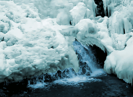 Everything from irrigation and hydropower to stinger season and whale watching will be impacted by a project mapping virtually all of the world’s glaciers.
An international team has conducted the massive survey, looking at many glaciers for the first time, in order to get a new baseline for measuring sea level change.
The team mapped and catalogued an incredible 198,000 glaciers worldwide, as part of the Randolph Glacier Inventory, or RGI.
The database will help glaciologists and other earth scientists to better understand rising seas over the coming decades.
Rising seas and the flow-effects thereof have highlighted as a key risk, as anthropogenic greenhouse gases heat the planet.
The team behind the recent survey included 74 scientists from 18 countries, most working on an unpaid, volunteer basis.
They found that while the Greenland and Antarctic ice sheets are both losing mass, it is the smaller glaciers that are contributing the most to rising seas levels right now.
That will continue to do so into the next century, said Professor Tad Pfeffer from the University of Colorado.
The project was undertaken in large part to provide the best information possible for the recently released Fifth Assessment of the Intergovernmental Panel on Climate Change, or IPCC.
“I don't think anyone could make meaningful progress on projecting glacier changes if the Randolph inventory was not available,” said Pfeffer, the first author on the RGI paper published in the Journal of Glaciology.
Pfeffer said while funding for mountain glacier research has almost completely dried up in the United States in recent years with the exception of grants from NASA, there has been continuing funding by a number of European groups.
As the world's glaciers are expected to shrink drastically in the next century, the new RGI is critical.
In the RGI database, each individual glacier is represented by an accurate, computerised outline, making forecasts of glacier-climate interactions more precise.
As part of the RGI effort, the team mapped intricate glacier complexes in places like Alaska, Patagonia, central Asia and the Himalayas, as well as the peripheral glaciers surrounding the two great ice sheets in Greenland and Antarctica.
“In order to model these glaciers, we have to know their individual characteristics, not simply an average or aggregate picture. That was one of the most difficult parts of the project,” Pfeffer said.
The team used satellite images and maps to outline the area and location of each glacier.
Researchers combined that information with a digital elevation model, then used a technique known as “power law scaling” to determine volumes of various collections of glaciers.
In addition to impacting global sea rise, the melting of the world's glaciers over the next 100 years will severely affect regional water resources for uses like irrigation and hydropower, said Pfeffer.
The melting also has implications for natural hazards like “glacier outburst” floods that may occur as the glaciers shrink.
The total extent of glaciers in the RGI is roughly 727,000 square kilometres - an area just under the size of New South Wales.
The team estimated that the corresponding total volume of sea rise collectively held by the glaciers is about 350 to 470 millimetres.