


Landsat 9 boosts orbital view
 Print
Print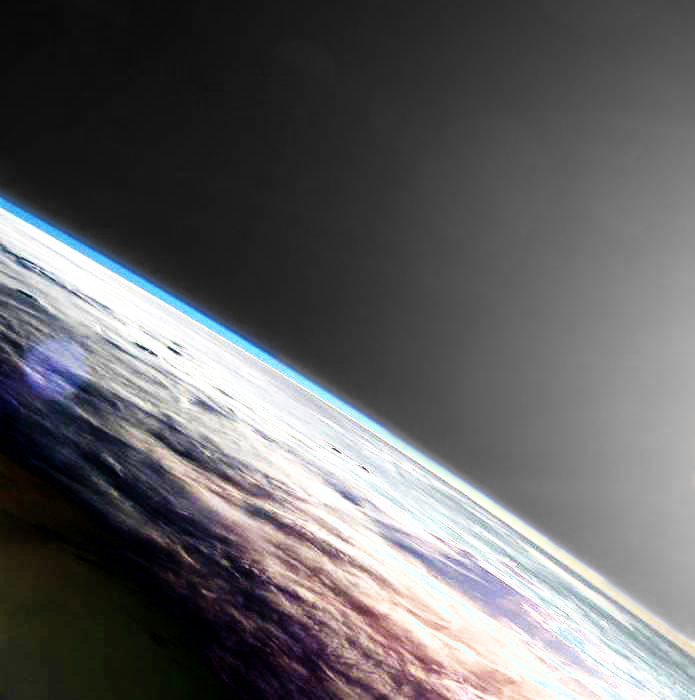 The world's most advanced land-monitoring satellite has been launched into orbit.
Landsat 9, a NASA satellite built to monitor the Earth’s land surface, successfully launched from Vandenberg Space Force Base in California this week.
The Landsat program has been run by NASA and the United States Geological Survey (USGS) for over 50 years, providing constant imagery of our planet .
It carries a high-resolution camera and a sensitive infrared sensor that together can image the Earth across 11 spectral bands and resolve objects down to about 15 meters wide.
The satellite should orbit the Earth at an altitude of about 705 kilometers over the planet's poles.
Landsat 9 will extend scientists’ ability to measure changes on the global land surface at a scale where they can separate human and natural causes of change.
When land use and resource availability issues arise, Landsat 9 may help decision-makers make informed management decisions.
Landsat 9 is expected to contribute a critical component to the international strategy for monitoring the health and state of the Earth.
Landsat 9 joins its sister satellite, Landsat 8, in orbit. Working in tandem, the two satellites will collect images spanning the entire planet every eight days.
Applications such as weekly tropical deforestation alerts, water quality monitoring, and crop condition reports are now feasible with the constellation of Landsat 9 and its predecessor Landsat 8.
With increased activity in international and commercial remote sensing, Landsat has emerged as a cornerstone of the global constellation of imagers.
NASA says Landsat 9 will support key areas such as;
-
Tropical deforestation and global forest dynamics: the Landsat archive provides an impartial and unbiased record of Earth’s forests for world governments and resource organisations to verify claims of environmental protection and carbon storage
-
Urban expansion: the Landsat record helps us visualise the impact of humankind’s convergence on urban centers and to understand the environmental consequences
-
Water use: Landsat 9 will be an invaluable tool for managing water in areas such as the Western U.S. where water is scarce and water usage between agriculture, industry, and residential needs is very competitive
-
Coral reef degradation: Landsat has helped enable global monitoring of Earth’s reefs
-
Glacier and ice-shelf retreat: the Landsat archive chronicles changes to 98 percent of Earth’s glaciers, and Landsat 9 will continue monitoring them into the future
-
Natural and man-made disasters: Landsat data are regularly used as part of the International Disaster Charter, mapping disaster impacts to save lives
-
Climate change: Landsat data provide a direct view of how almost five decades of climate change have affected Earth’s surface and biology
All Landsat images and the embedded data are free and publicly available, a policy that has resulted in more than 100 million downloads since its inception in 2008.
More information is accessible here.