


BoM details dry times ahead
 Print
Print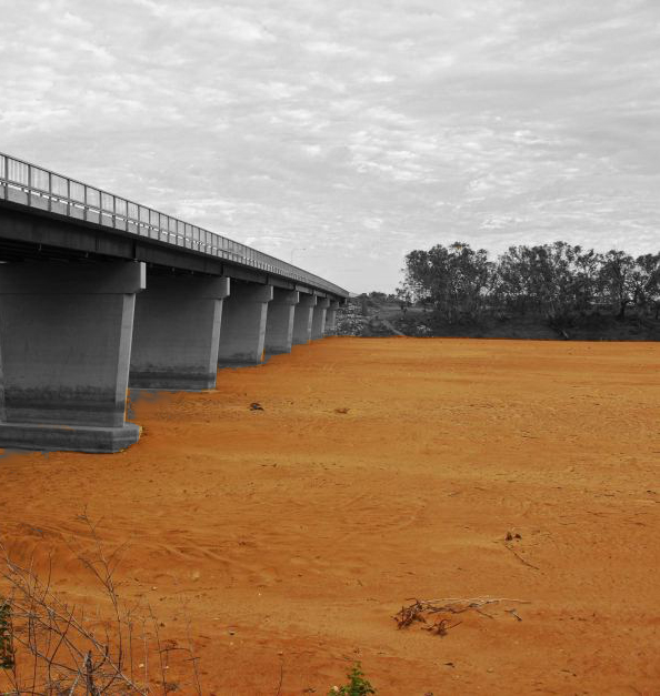 The Bureau of Meteorology has put Australia on a La Nina alert, the level just before an official La Nina.
The BoM says a La Nina is now highly likely this summer, but without its characteristic rainfall.
Competing climate drivers are expected to keep the rain away, meaning this La Nina could be more associated with heatwaves than rainfall.
“There are two things that have happened,” says senior BOM climatologist Dr Blair Trewin.
“The sea surface temperatures in the tropical Pacific have cooled a bit further, so in the key areas of the central and east-central Pacific we are now looking at sea surface temperatures of 0.5-0.6 of a degree below average.
“The other thing that has changed is the projections of the seasonal climate prediction models firming up around the likelihood that we will see a La Nina of sorts — probably a fairly weak and short lived one in these next few months.”
The BoM’s newest models say there is a 70 per cent chance of a La Nina this summer, but it will be short-lived and relatively dry.
“The interesting thing about this one is that the conditions around the Australian continent itself are not those typical of a La Nina,” said Dr Trewin.
“Normally when you have a La Nina in the eastern-central equatorial Pacific you will have warm waters around Australia and you will have warm temperatures in the Indian Ocean. And we don't have those at the moment.”
<br><center> <iframe width="560" height="315" src="https://www.youtube.com/embed/dzat16LMtQk" frameborder="0" allowfullscreen></iframe>